


Reno Off Road & Scenic Exclusive Experience
Reno
About
Travel Time NV’s website shares some of Nevada’s “secret” off-road, 4-wheeling adventurous routes for you to experience.
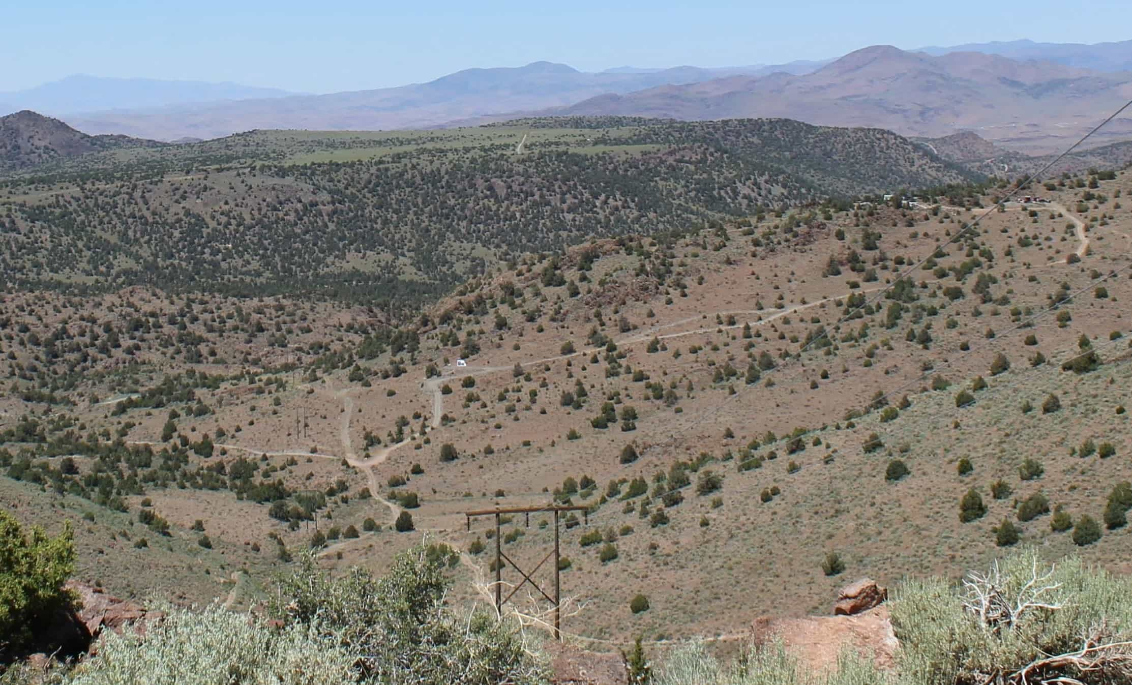
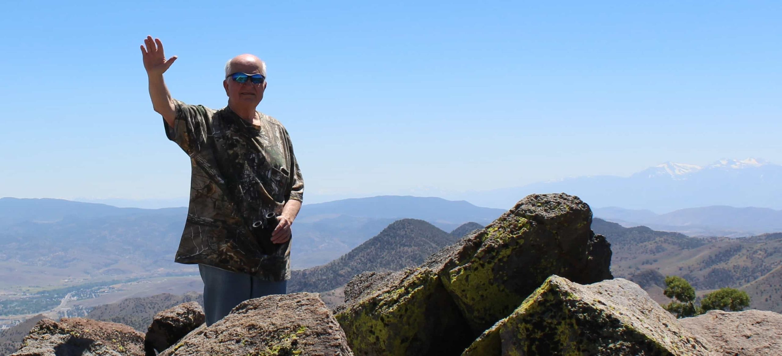
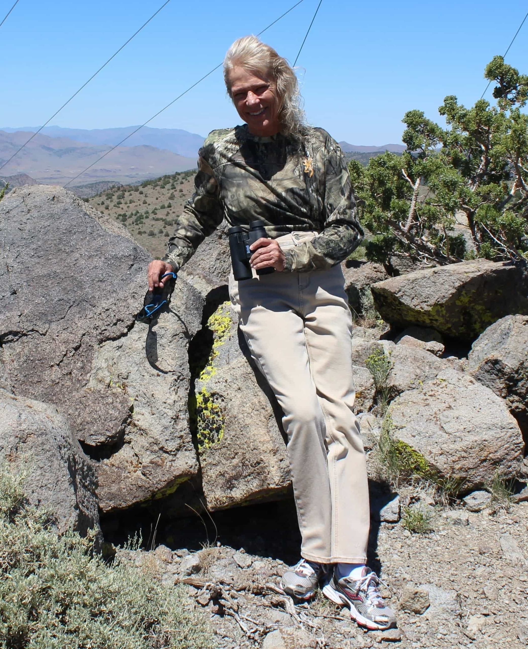
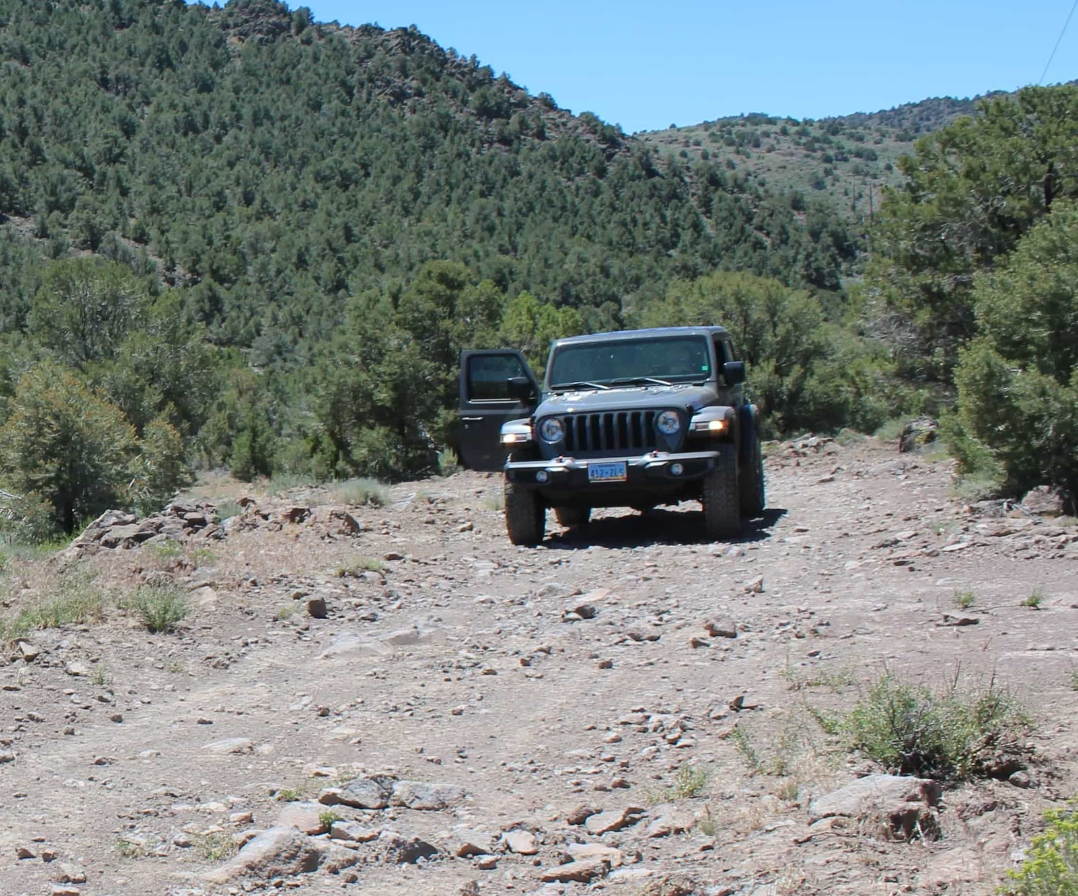
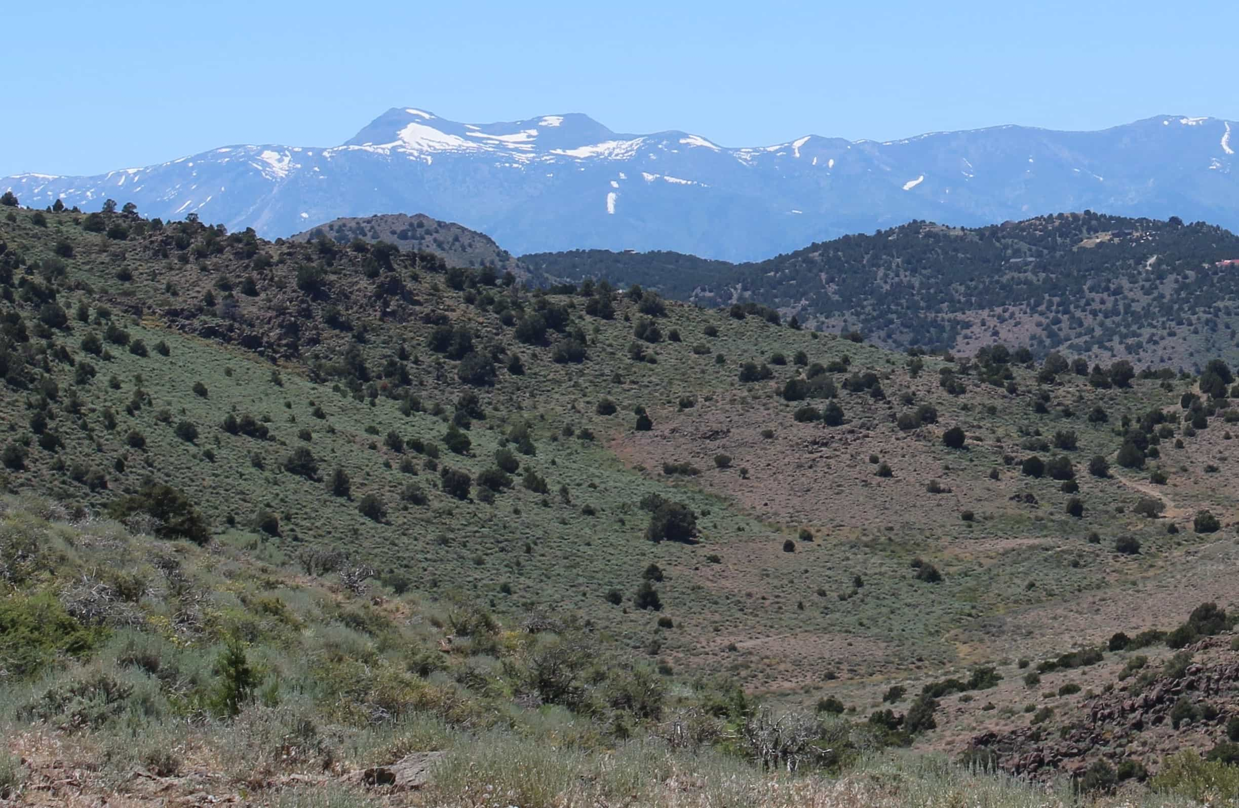
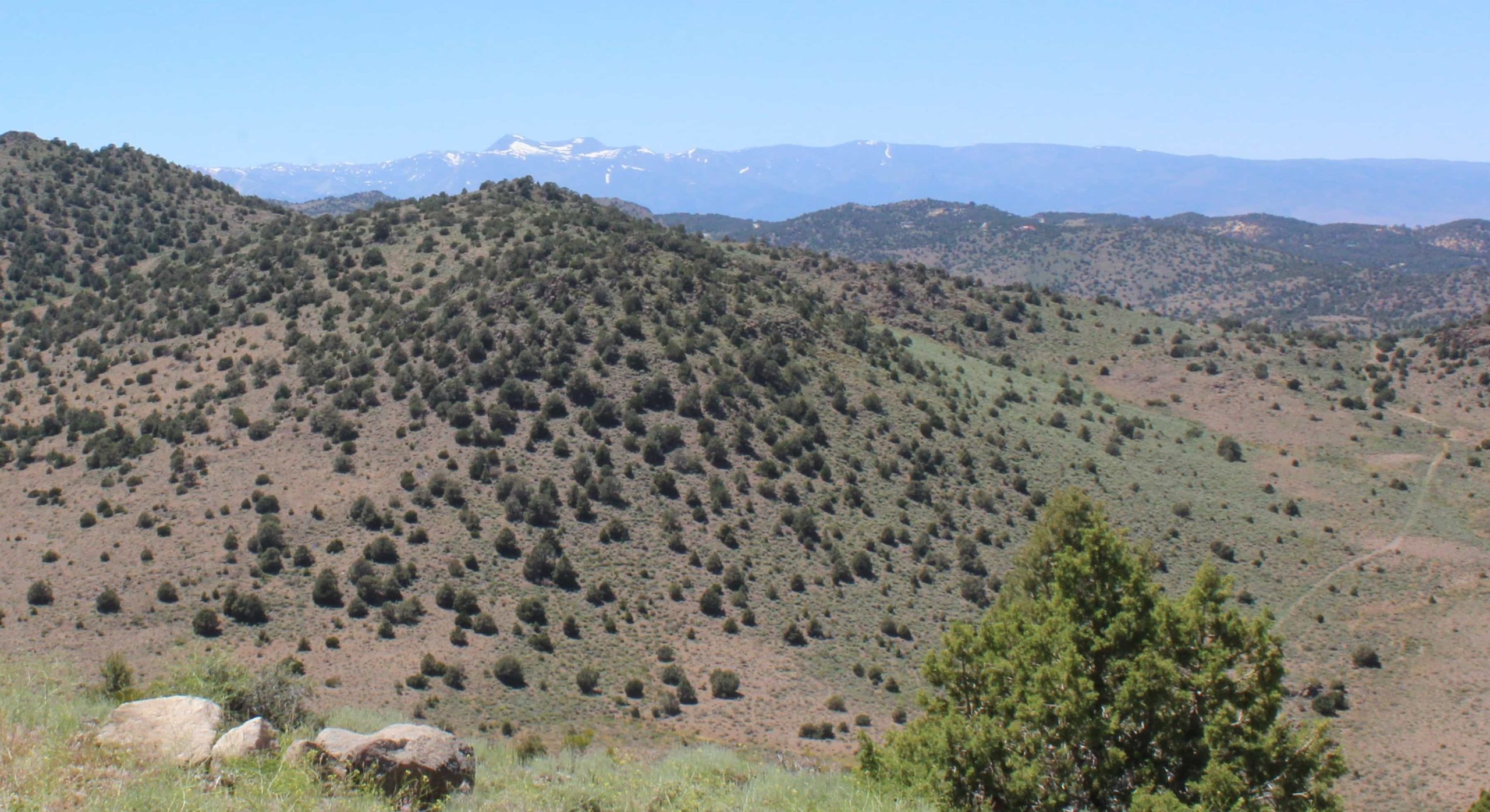
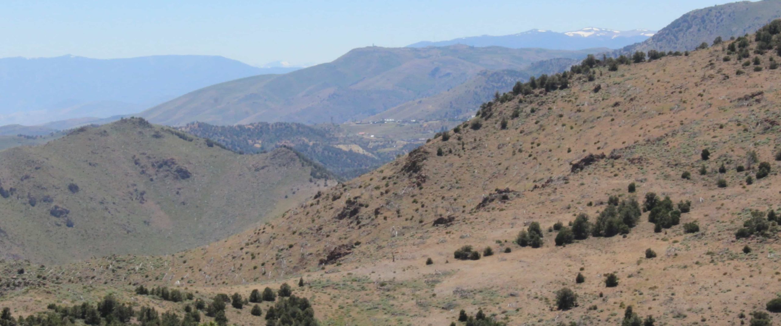
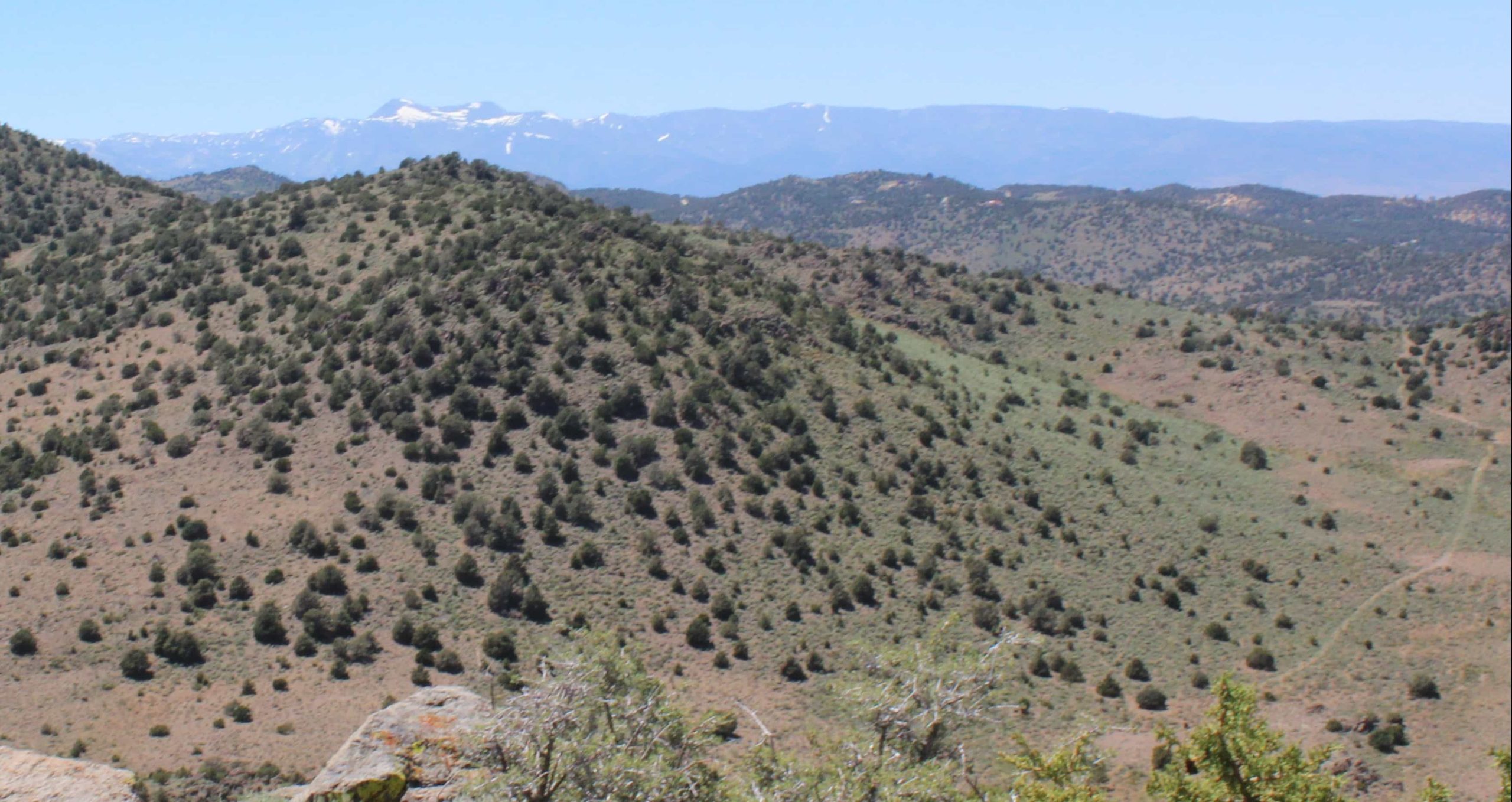
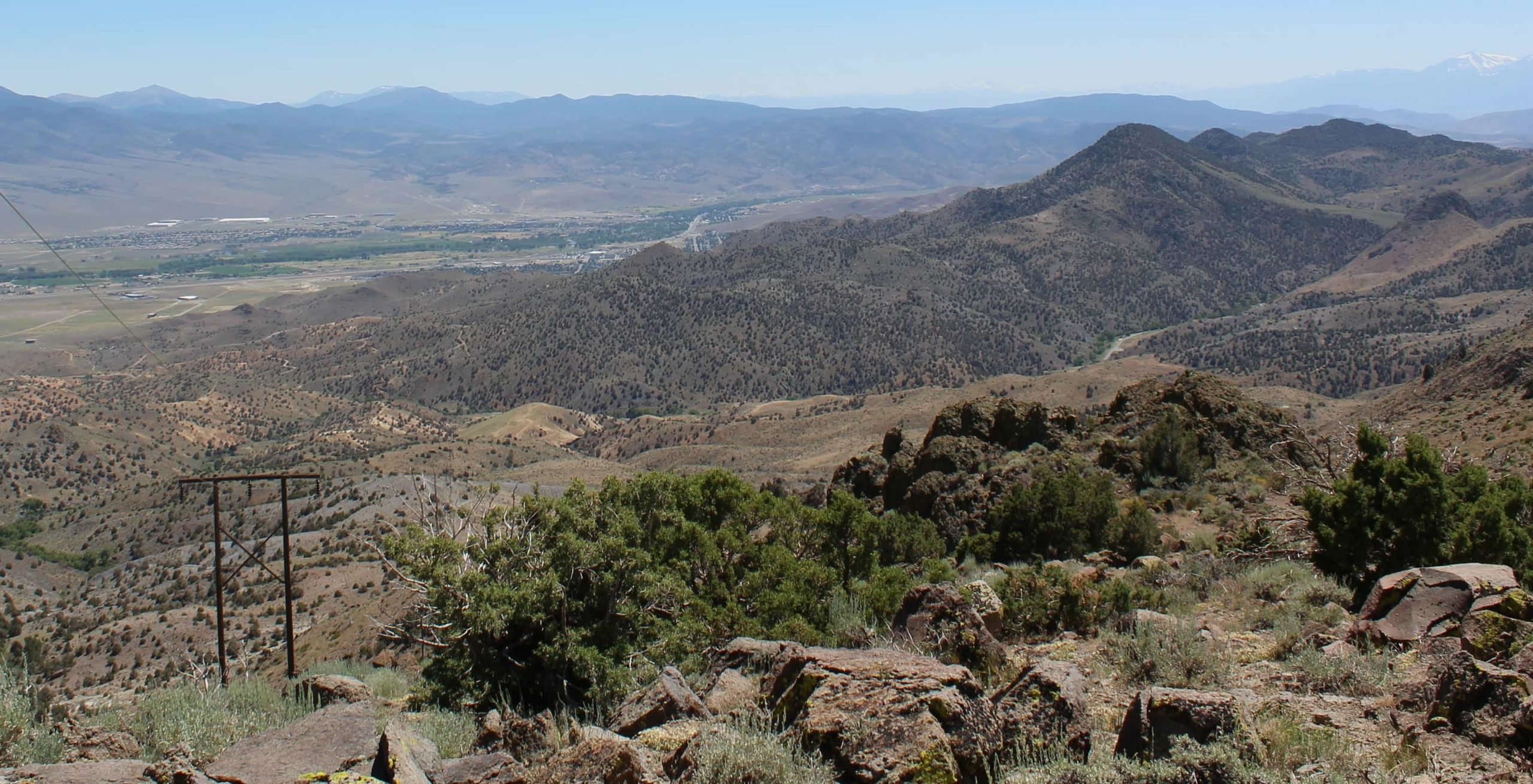
If you’re considering venturing out to the greater Reno area, there is a remote location the locals refer to as “Poleline Road.” Located in Storey Country, you’ll find a high spot at the top of this rugged road among the VC Highlands area mountains.
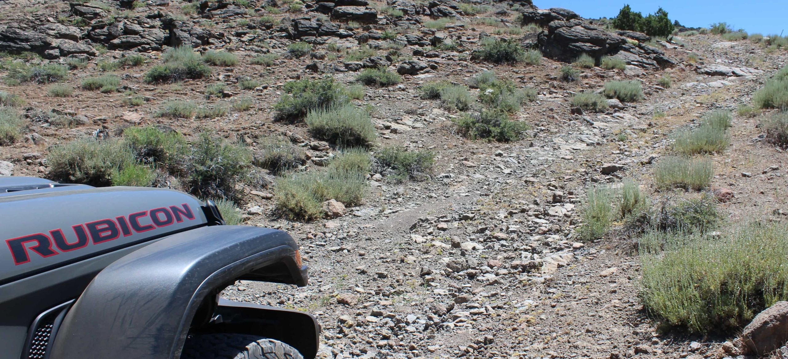
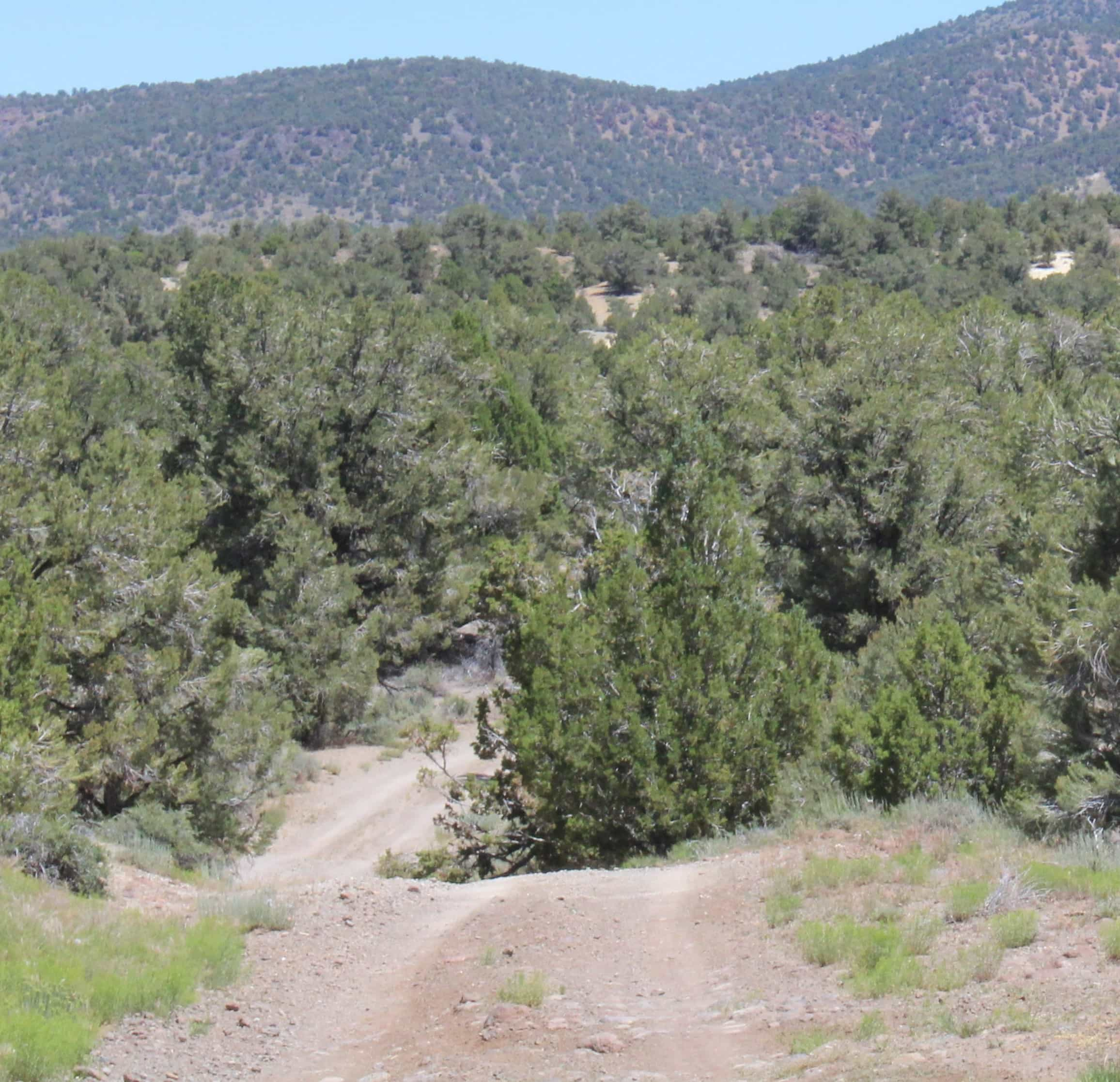
This road was established for the creation of the power line that runs from the Truckee River to Highway 50. It is a dirt path used almost exclusively for the continuing maintenance of the power line whenever needed. This creates a fun, 4-wheel drive challenge as the roads are never regularly maintained and create a harsh environment after a tough winter!

Here’s the directions departing from Reno:
Take Hwy 580 south out of downtown to the Virginia City exit and go east on Hwy 341 toward Virginia City for approximately 26 miles. Before reaching Virginia City, turn left (east) on Lousetown Road.
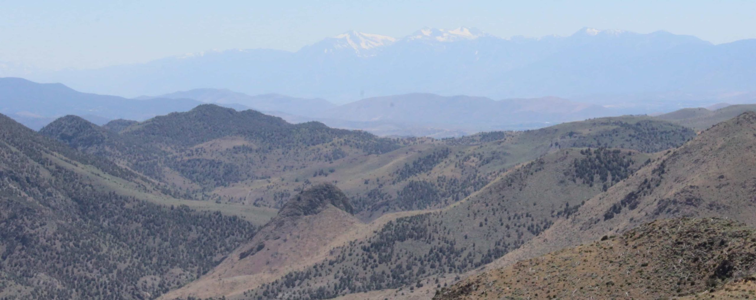
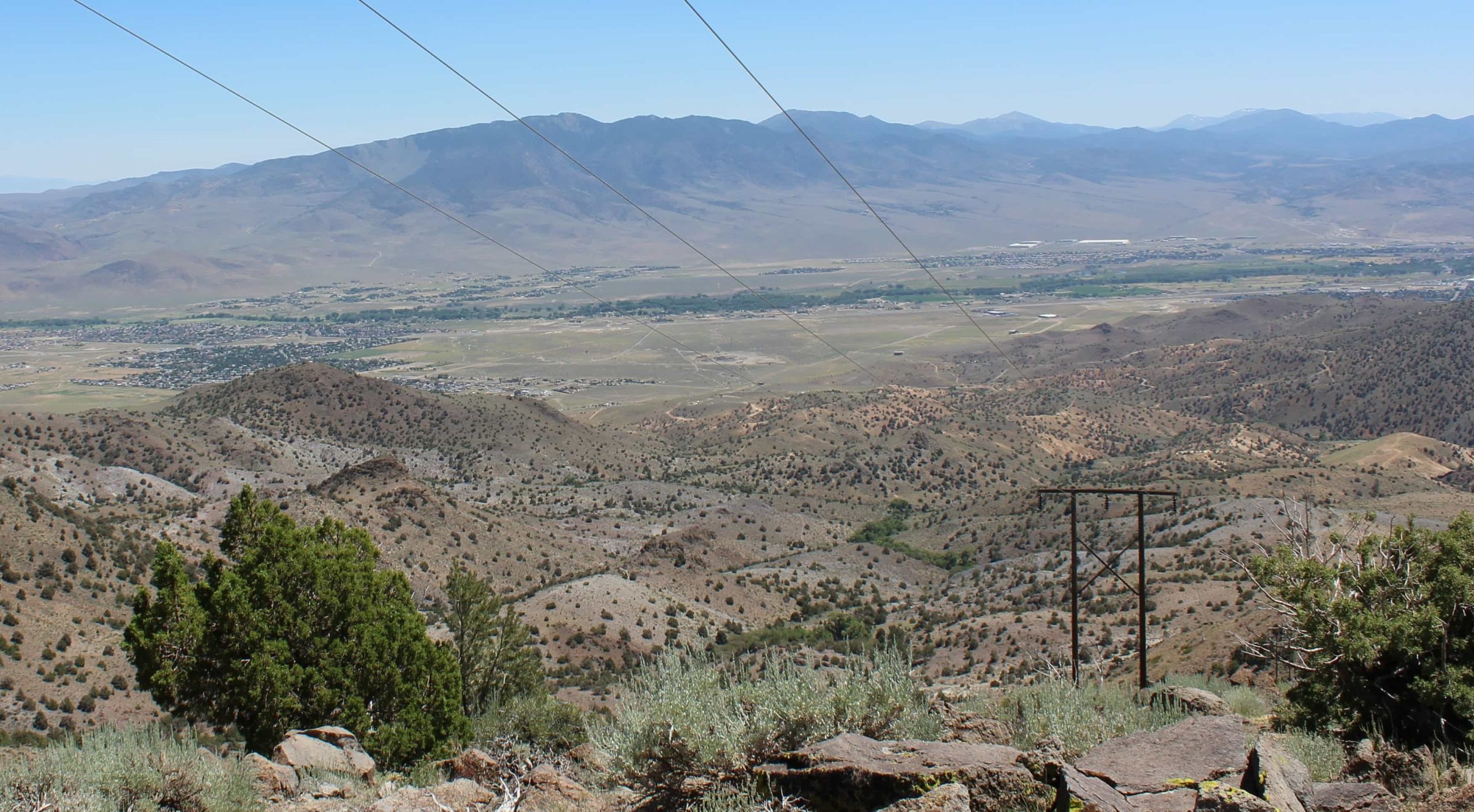
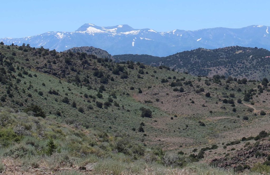
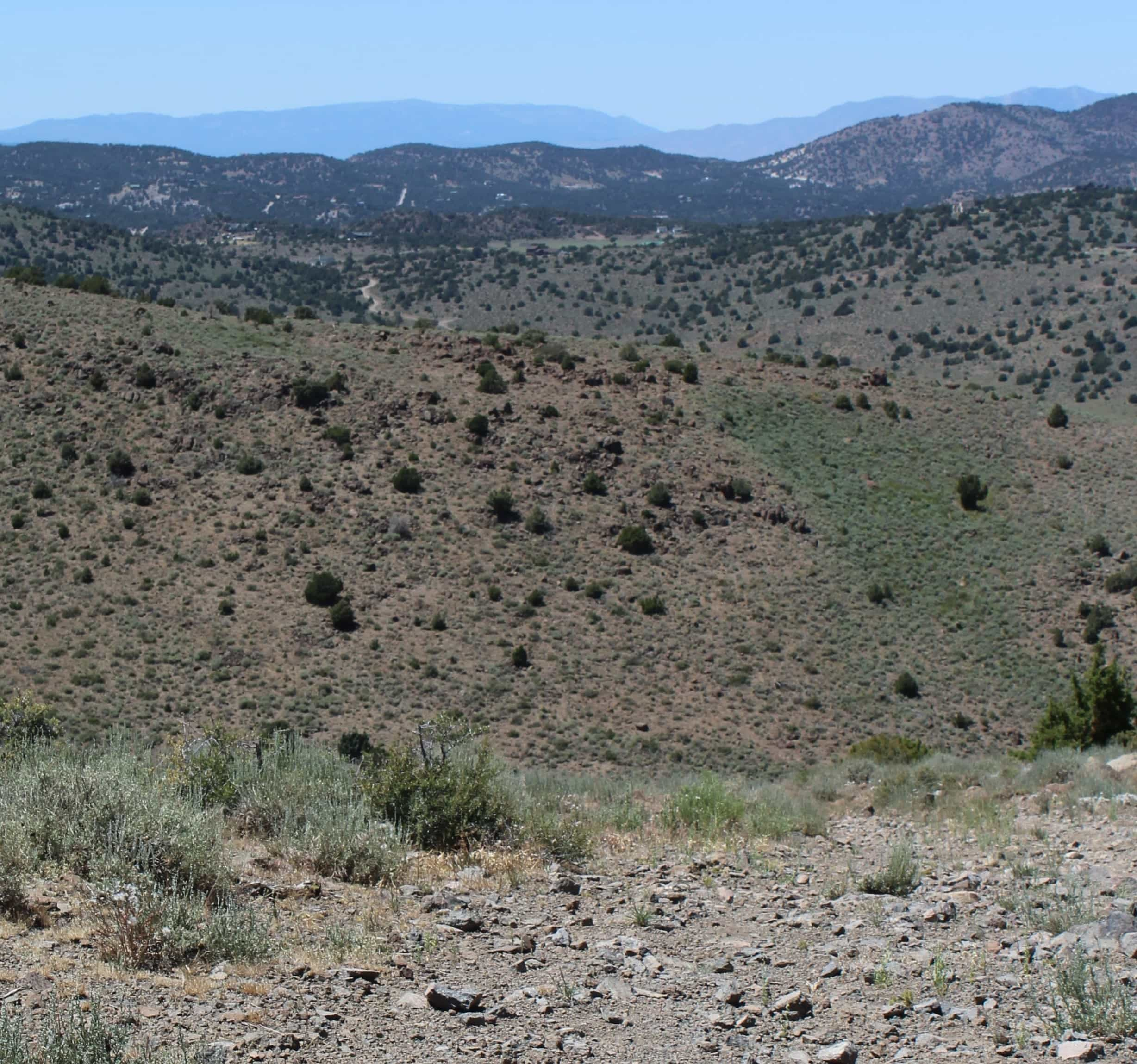
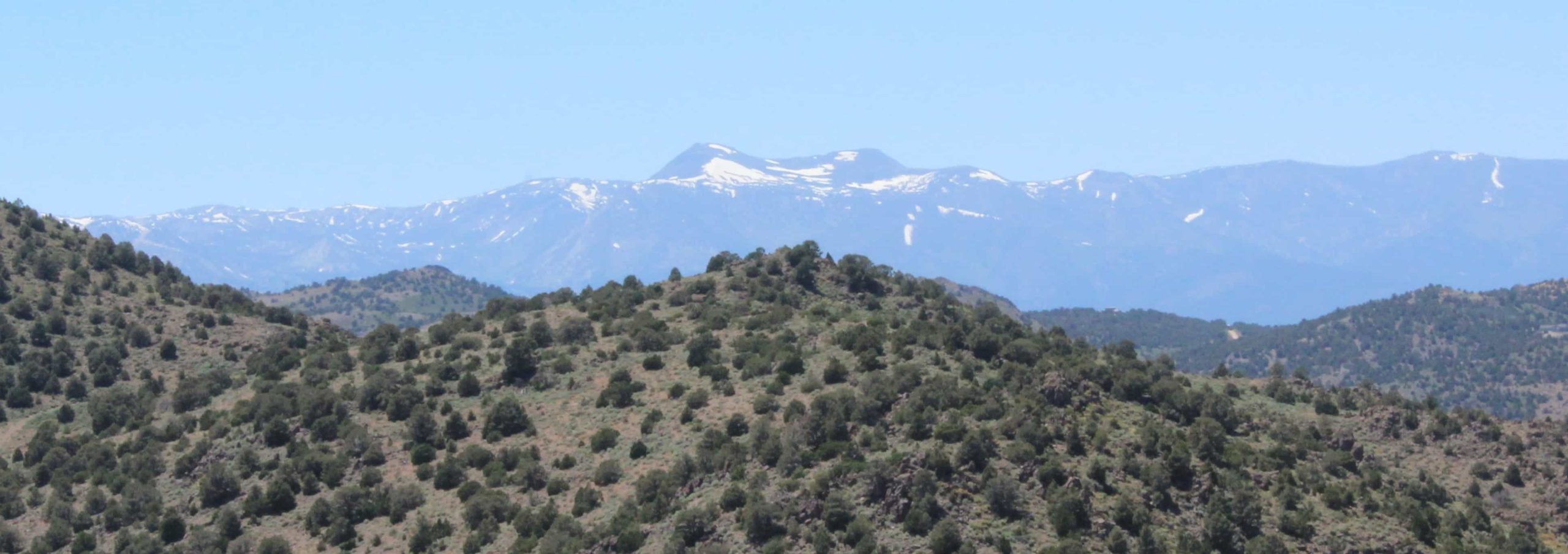
Continue east until you see the power line, then take a right on Powerline Road (no sign, follow the line) to the top of the mountain. There, you will find the most incredible views of Mt. Rose, Slide Mountain, Peavine Mountain, Virginia City, Carson City, Carson Valley, Minden, Gardnerville, Dayton, Silver Springs, Lake Lahontan and more!
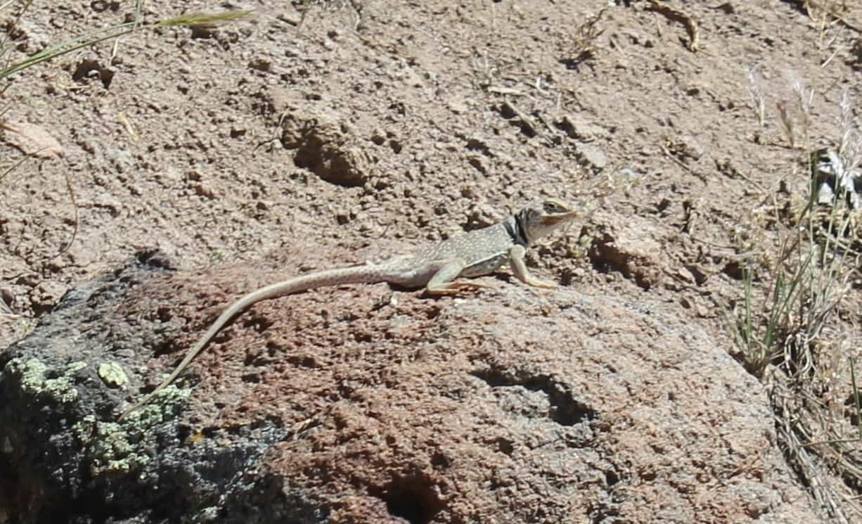
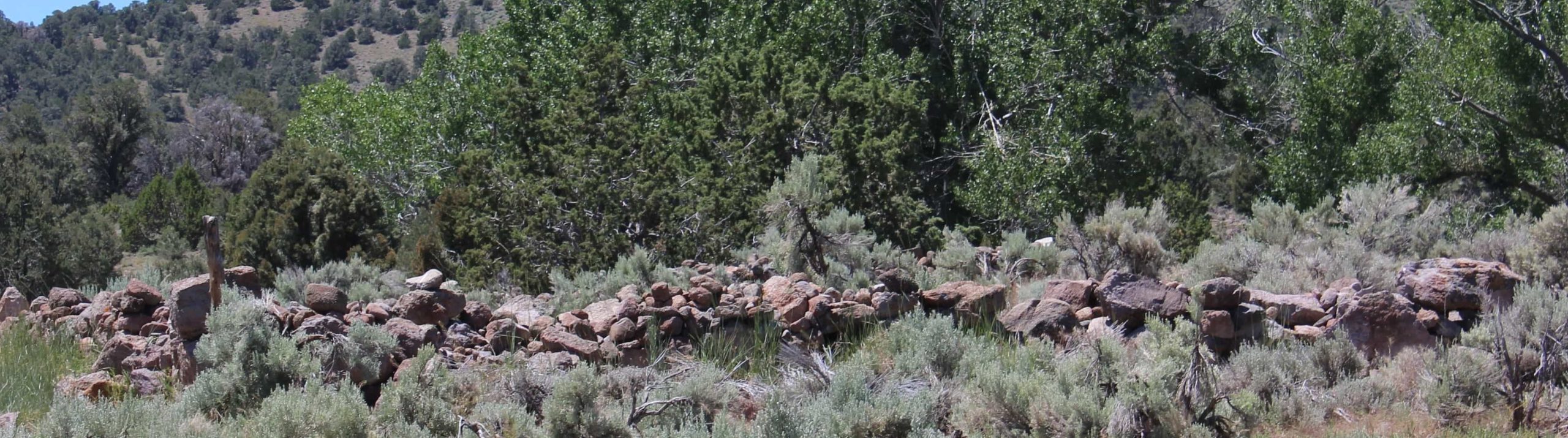
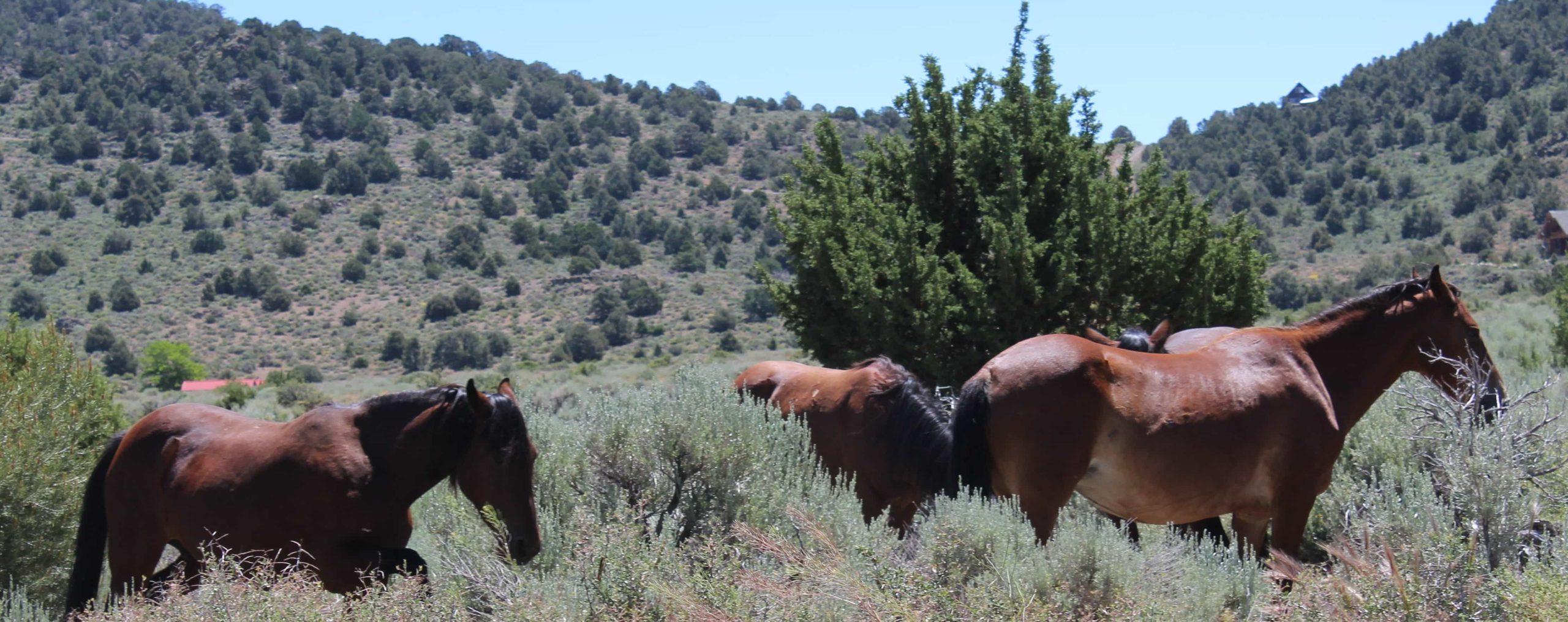
Along your journey, you may encounter wild horses, deer, rabbits, chukars, sagehen, hawks, reptiles and watch out for snakes! There are a few small ranches; be cautious of private property. Bring plenty of water, some snacks, binoculars and your camera with fully charged batteries. A 4-wheel drive is mandatory! Use common sense: if there’s rain or snow, don’t go!
Details


Similar Listing
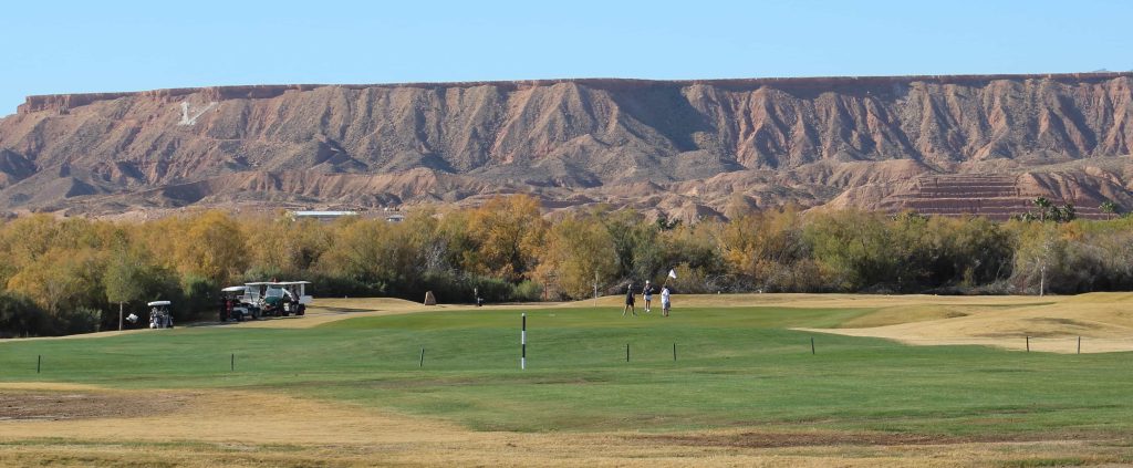
Coyote Willows Golf Course
426 Hagens Alley Mesquite United States

Casino Table Games 1-Hour Session
Las Vegas, Las Vegas, Clark County, Nevada, 89101, USA
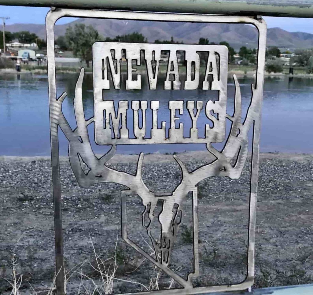
Nevada Muley’s March Fundraisers
401 N Center St Reno United States

Artown’s 2025 Performances
1338 N Virginia Street Reno United States