Pahrump


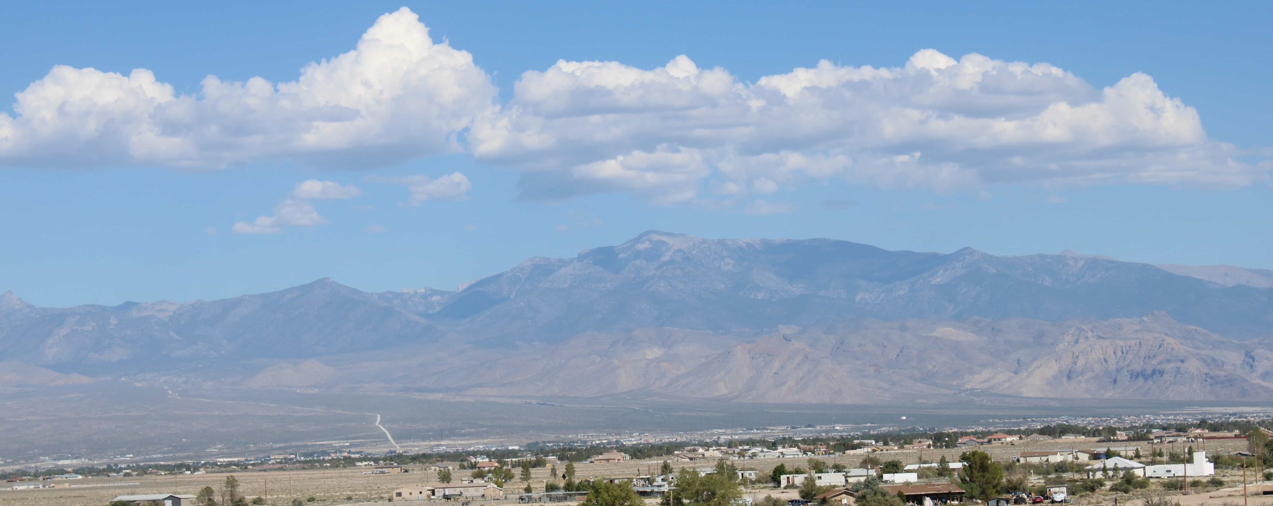
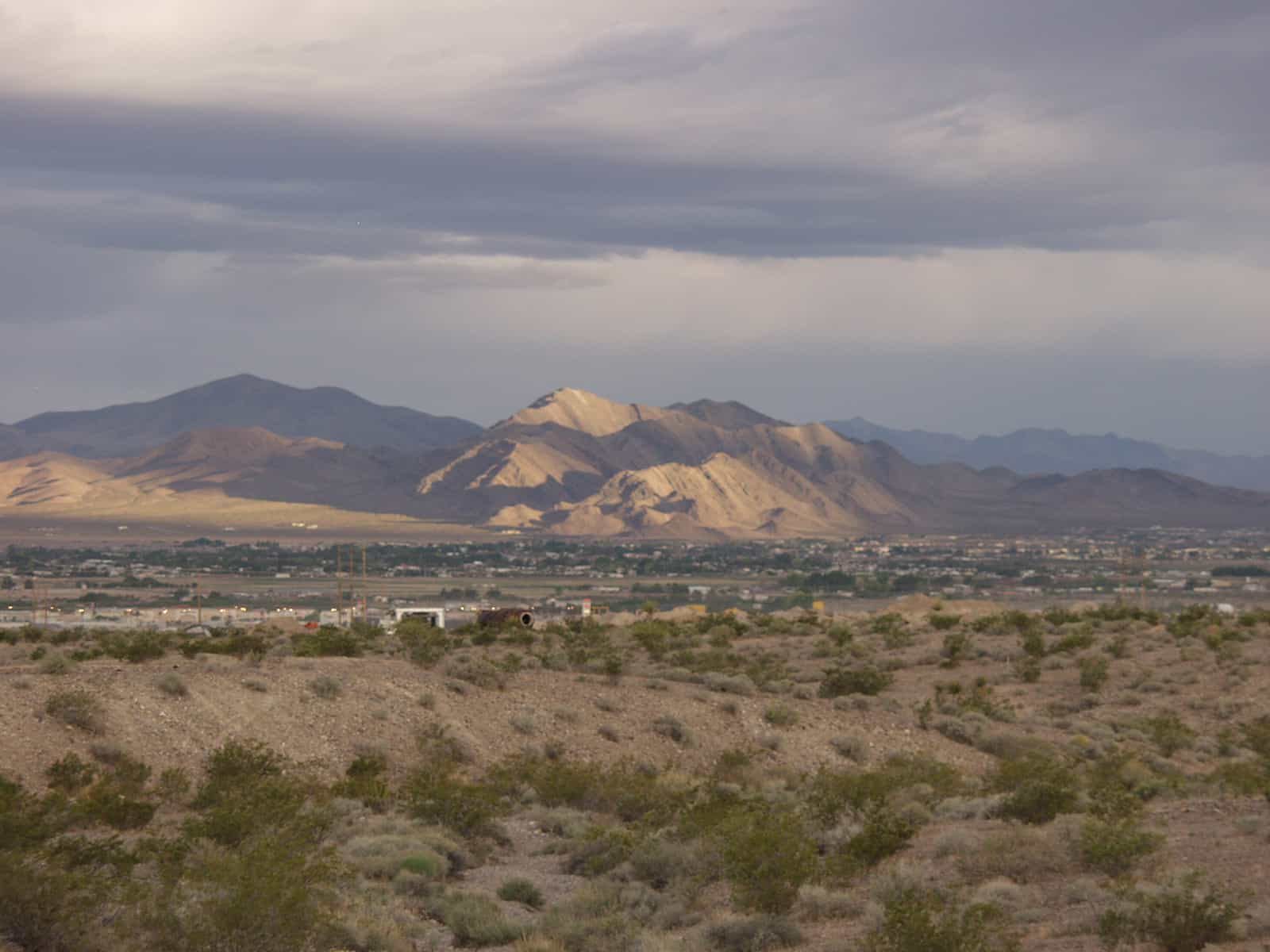
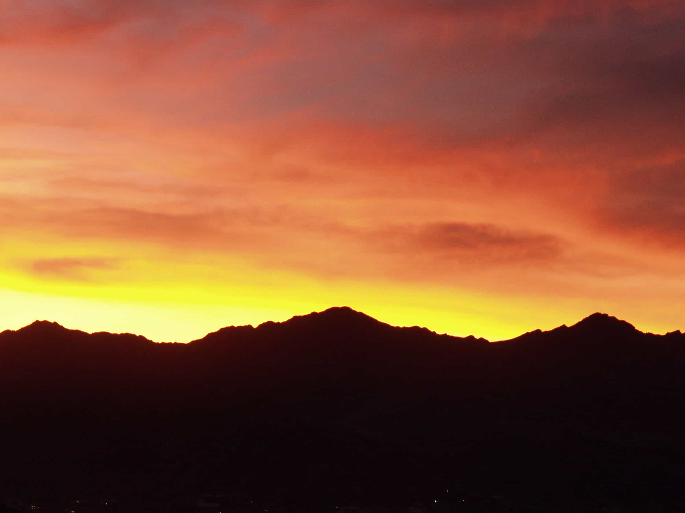
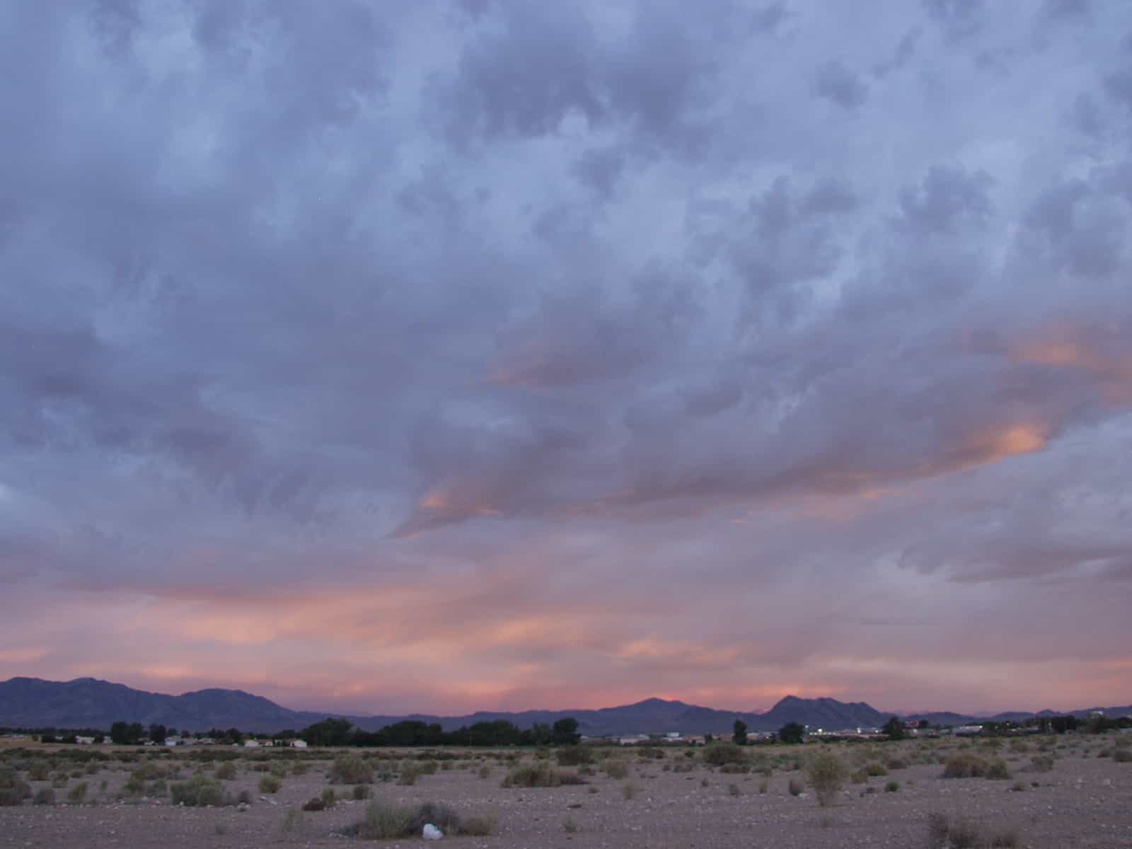
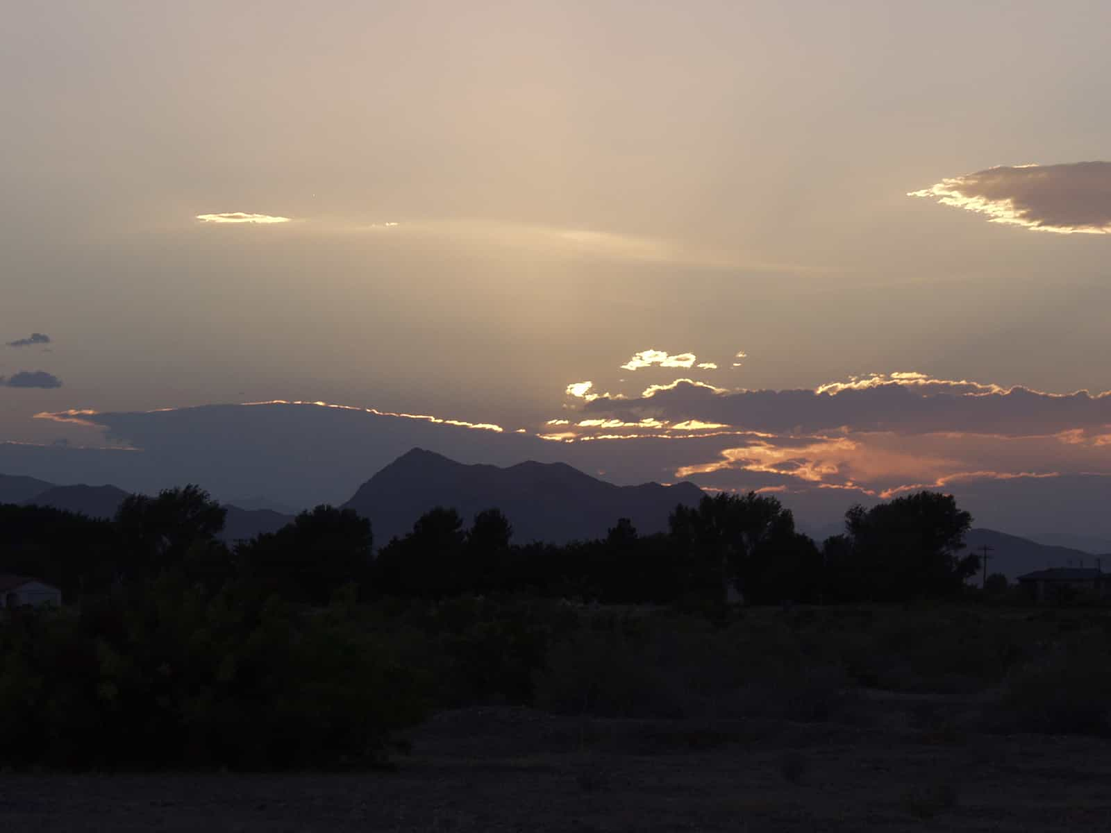
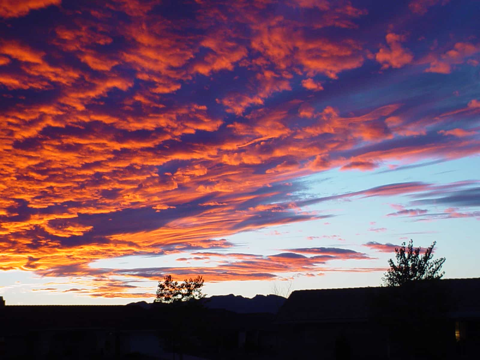
When Las Vegans talk about going to Pahrump, they simply say “we’re going over the hump.” To get out of the heat, Pahrump is just a short 62-mile drive on Highway 160 over Mountain Springs pass. At 5,502 feet above sea level, the temperatures are more comfortable with cool evenings. The dark night skies make for great stargazing… just go up Wheeler Pass or anywhere else away from the town lights. The sunrises and sunsets are also amazing.
How did Pahrump get its name? It is generally accepted that Pahrump came from the Indian word Pah Rimpi, meaning Artesian Springs. No matter who has the claiming rights or how the name began, one thing is for sure, it is the availability of water that makes the valley an attractive place to live.
When it comes to modernization, Pahrump got off to a slow start. The first section of paved road within Pahrump Valley was in 1953. Finally, in 1954, Highway 160 from Pahrump to Las Vegas was built over the Spring Mountains opening the Valley to more people and business. More modern conveniences opened the way for development and businesses includes the establishment of electric lines in 1963. The telephone made it to Pahrump in 1965 with 76 subscribers listed in the telephone book.
Over the years, Pahrump grew and became a commuter town for people working in Las Vegas. In 2005, the Pahrump Valley began a “boom” and over the years since, the population increased by three times to its present count of 42,471.
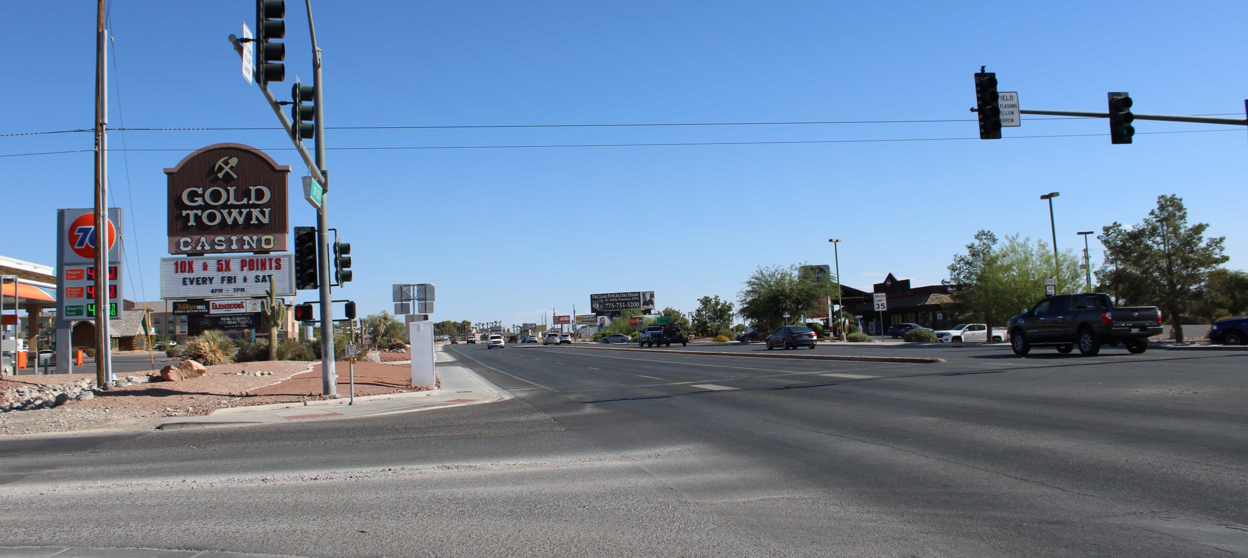
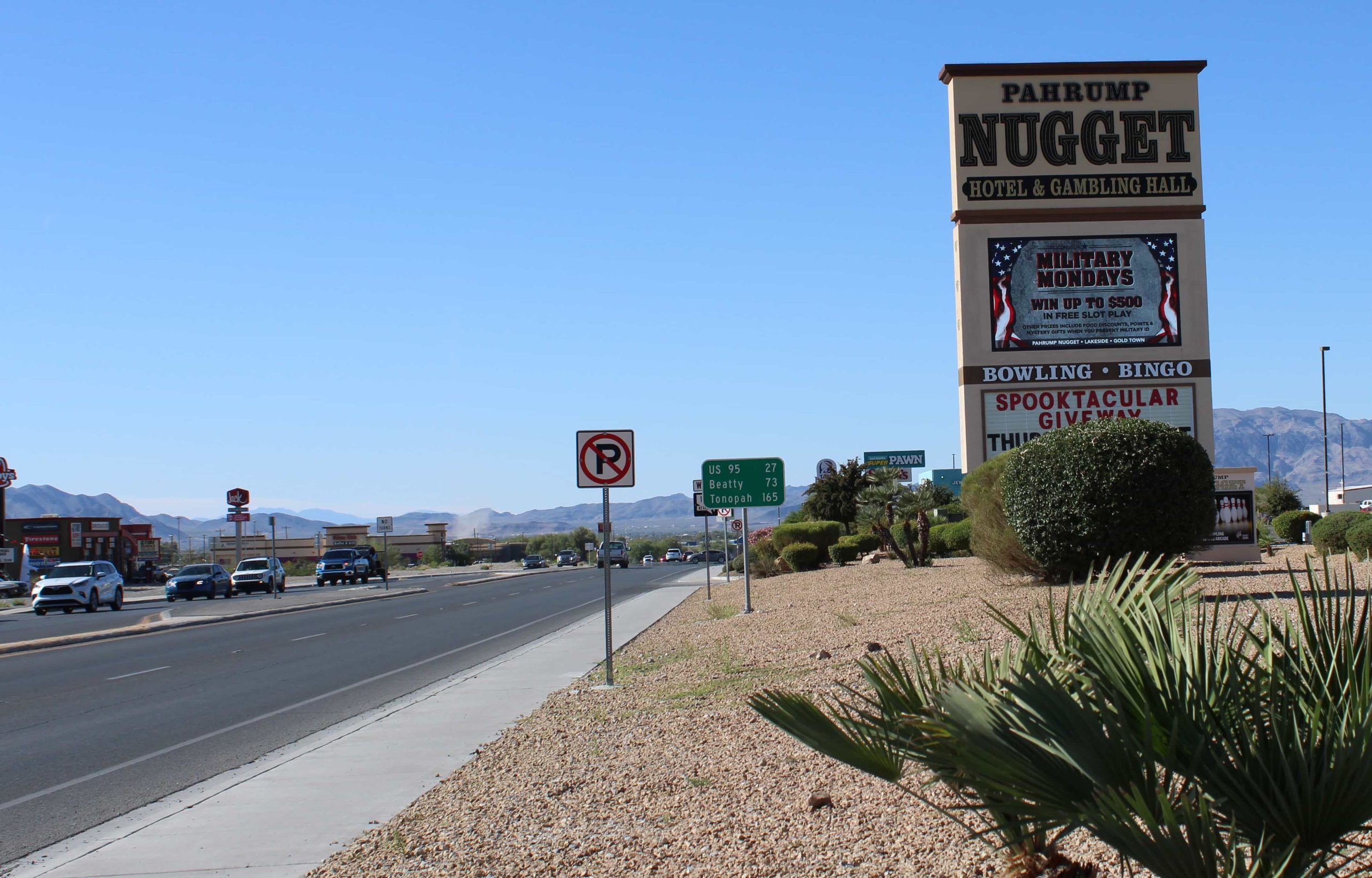
There’s a wide variety of entertainment including top-notch casinos, Saddle West being an old town favorite with a great RV Park; the annual 40-day Fall Festival has carnival rides, games, music and plenty of food; the Pahrump Museum has interesting antiques, photographs, documents and art pieces; and for you golfers, there’s Mountain Falls Golf Club.
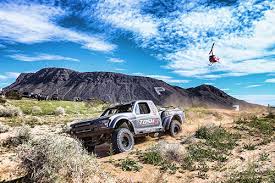
On the outskirts of town, you can visit the Spring Mountain Motor Resort and Country Club with its state-of-the art racetrack. In early 2024, the winery will be re-opening with new ownership under the name of Mt. Charleston Winery. At the Front Sight Firearms Training Institute, you can learn practical shooting and self-defense. And for a fun day trip, the nearby Spring Mountains Recreation area offers hiking, horseback riding and snow skiing in the winter.
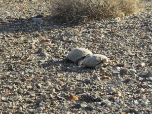
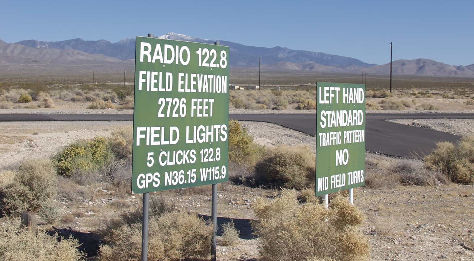
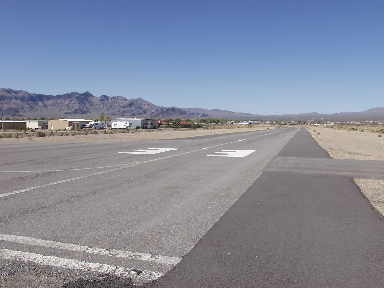
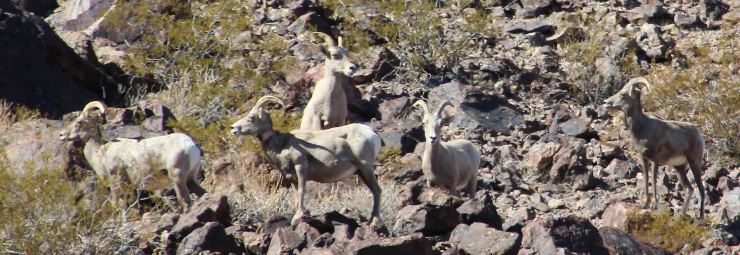
If you like looking at property investments, there are multiple real estate offices to show you around. There is also a private, uncontrolled airport that is 4,081 feet long. At the airport, if you go up to the end of Bell Road toward Mt. Charleston, there’s a dirt road to take you up to a knoll where you can enjoy spectacular views. It’s great fun for 4-wheel vehicles or adventurous hikers. Be sure to keep an eye out for tortoises along the way! You may also spot wild horses, coyotes, tarantulas and snakes.
Whatever you choose to do, you’re in for a fun time when you venture “over the hump.”
From Las Vegas, take I-15 South, then west to Highway 160 (approximately 62 miles)
Note: you may have to share the road with cyclists along the way
Bring plenty of water, especially if you’re planning outdoor activities
Remember sun protection
Keep an eye out for wildlife – you may even spot a tortoise out in the wild
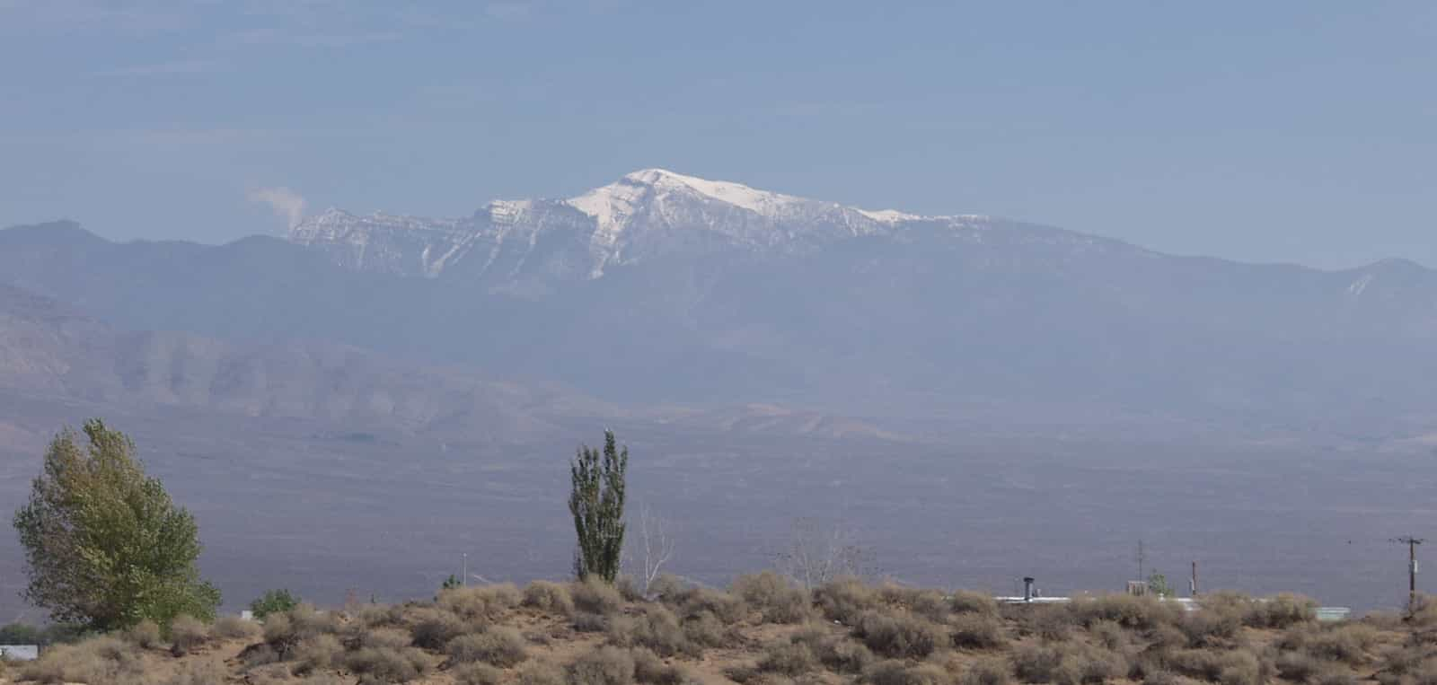
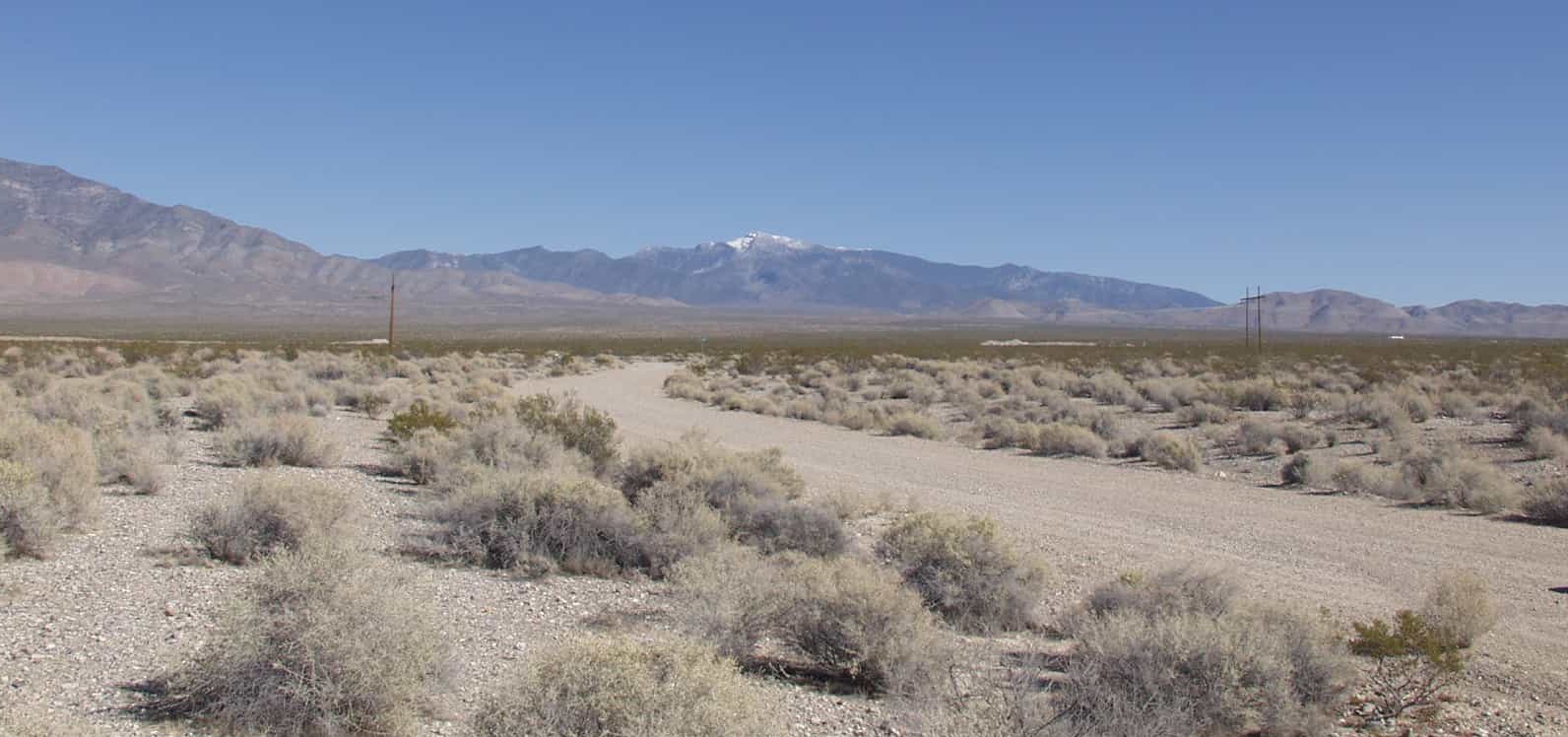
The springs that have flowed from the ground in Pahrump have, for an estimated 10,000 years, sustained a variety of cultures. The valley floors run from 2400 to 2700 feet above sea level. The mountains that surround the valley are part of several ranges. Mount Charleston to the east is the most prominent at 11,918 feet. During the winter, the eastern range of the mountains wear a halo of snow that sometimes clings to the ground as late as July.
Although Indian tribes had lived there for years, the settlers started coming through the Valley after 1800 as trappers and hunters. The famous John C. Freemont, known as “The Pathfinder” is reported to have passed through the Pahrump Valley in about 1844 on a topographical study trip. He, like many others, came this way because the south end of the valley was crossed by the Old Spanish Trail. This was the trail that connected the Spanish communities of Santa Fe, New Mexico and Los Angeles along a route that wandered through New Mexico, Colorado, Utah, Nevada and California.
The route was popular because it provided a way across the arid deserts with water located about every 50 miles. In the early 1800s, the trail was also a popular route for horse thieves. They would steal livestock from the ranches of California, then drive them to Santa Fe where they were in demand and got top dollar for the horses.
The remnants of the old Spanish Trail can still be seen as it comes into the Pahrump Valley from the southeast, along Highway 160 coming down from the Spring Mountains and along the narrow road that runs from Highway 160 to Tecopa, across the State line of California. One of the large watering holes along the trail was located near the Nevada-California line.
This area was part of the land given to the U.S. after the war with Mexico. The northern part of what later to become the State of Nevada was part of the Utah territory. The southern part of present-day Nevada was part of the New Mexico territory and later Arizona territory.
Nevada became a state in 1864, but the southern part of the area, including the Pahrump Valley, remained in Arizona Territory. In 1866, Congress put the southern tip into the new state.
The Pahrump Valley of the late 1800s and early 1900s did not grow much even though there was much activity in the area around the Valley, especially across the state line in California. Mining, ranching and gold seeking became the main activity of the time.
The availability of water in the Valley helped the farmers to grow alfalfa for the livestock used by minders, transportation and the businesses nearby. At one time, alfalfa growers were getting a greater per ton value for their crops than much of the ore being taken from the ground by the miners.
In addition to vegetables, nuts and fruits being grown by local farmers, some even planted grapes to be used for wine. In the early 1900s, one farming group in the Valley found that cotton grew very well and they changed their crops. One of the problems faced in addition to shipping their product was a facility that could refine cotton when it was harvested. Finally, a cotton gin was available in the Valley and the growers’ costs for processing help to cut down costs they faced in marketing their products.
One of the major cotton growers sold off part of his land to a developer. This caused a big increase in costs the other growers had to pay to the processing company, and after a few seasons, cotton was no longer a profitable crop. The height of agriculture in the Valley is recorded as the year 1968 when a total of 10,062 acres of land were under cultivation in the Pahrump Valley.
The Pahrump community grew slowly. One of the main reasons for this was the lack of good roads for people to travel into and out of the Valley. Communications in general was a drawback to growth for a long period of time. Highway 95 – the major north-south road I this part of the state – was several miles north of the heart of the Valley and reached by a bumpy unpaved road. In the early 1950s, a dirt road was constructed over the Spring Mountains toward Las Vegas. However, many local residents with business in Las Vegas would take the long way around over unpaved roads through Sandy Valley to Highway 15, a trip that took several hours.
Even into the 1950s, living was relatively primitive in the Valley. At the same time, Las Vegas, located on both a main east-west highway and railroad line, grew quickly while Pahrump struggled between trying to keep its charming way of life and still bring to its people a modern lifestyle and opportunity to make a good living.
The first section of paved road within Pahrump Valley was in 1953. Finally, in 1954, Highway 160 from Pahrump to Las Vegas was built over the Spring Mountains opening the Valley to more people and business. More modern conveniences which has opened the way for development and business includes the establishment of electric lines in 1963. The telephone made it to Pahrump in 1965 with 76 subscribers listed in the telephone book.
The Pahrump Valley in the 2005 began a “boom.” In the next 20 years, the projection was an increase of the population to over three times – which came true; its present count is 42,471 and still growing.
